Why Google Maps Is the Ideal GPS for Older Drivers
- Nishadil
- November 08, 2026
- 0 Comments
- 3 minutes read
- 7 Views
- Save
- Follow Topic
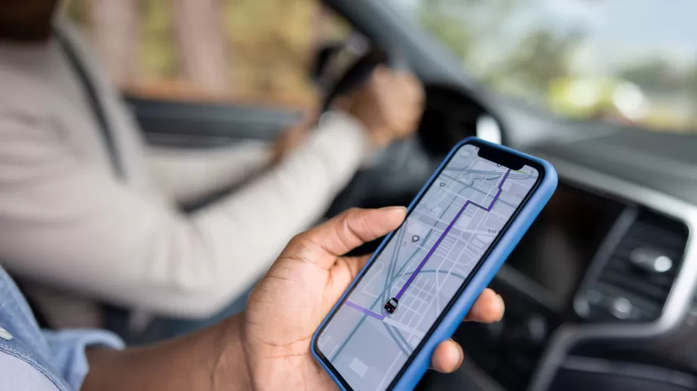
A simple, no‑nonsense navigation app that keeps seniors safe on the road
Google Maps’ clean layout, real‑time traffic colors, offline maps, and easy‑to‑read voice prompts make it a perfect fit for older drivers who want confidence without the flash.
Getting behind the wheel when you’re not familiar with the route can feel a bit like stepping into a maze, especially as you get older. You want something that tells you exactly where to go without bombarding you with pop‑ups or flashy graphics that distract from the road. That’s where Google Maps shines—it’s modest, dependable, and already lives on most smartphones.
First off, the interface is almost painfully simple. There are no animated stickers or endless sidebars; just a clean map, a few buttons, and the essential info you need. For an older driver, that means fewer chances to wonder, “Did that bubble mean a police car or a traffic jam?” The app sticks to the basics: a clear route, a calm voice that calls out each turn, and color‑coded traffic that’s easy to read at a glance.
One of the biggest headaches for seniors is timing. Imagine a 10 a.m. doctor’s appointment—you don’t want to guess when to leave. Google Maps lets you set a desired arrival time (or departure time) right from the route screen. The app then tweaks the estimated travel time based on typical traffic for that hour, and it even tells you the exact minute you should head out. It’s like having a personal assistant who knows rush‑hour patterns.
Speaking of traffic, the map uses green, yellow and red ribbons to show you how fast traffic is moving. Green means “go ahead,” yellow hints at a slow‑down, and red warns of a jam. That visual cue is easy on the eyes and takes only a second to interpret, so you can decide whether to stick to the planned route or take a detour.
What if you’re driving through a spot with spotty service—rural backroads, a downtown tunnel, or a crowded parking garage? Google Maps lets you download an area for offline use. Just tap your profile picture, choose “Offline maps,” select the region you need, and hit download. The map will still guide you turn‑by‑turn, though you won’t get live traffic updates. Still, it’s a lifesaver when you’re off the grid.
Beyond driving, the app doubles as a walking and transit companion. It can tell you which bus to catch, how many stops you’ll ride, and the distance you’ll need to walk. While other navigation tools like Waze focus mainly on real‑time traffic chatter, Google Maps offers a more rounded experience for anyone who might be strolling through a new neighborhood.
Accessibility tweaks are tucked away in the Settings menu—just hit your profile picture, scroll to “App & display,” and enable the accessibility overlay. That will highlight wheelchair‑friendly entrances, seating, and parking, which can be useful for older drivers who need that extra bit of info.
All in all, Google Maps isn’t trying to be the flashiest kid on the block. It’s content to be reliable, clear, and easy to use—qualities that older drivers value most when they’re navigating unfamiliar streets.
Editorial note: Nishadil may use AI assistance for news drafting and formatting. Readers can report issues from this page, and material corrections are reviewed under our editorial standards.