Gulf‑Borne Tropical Depression Sparks Alerts Across Four Gulf States
- Nishadil
- July 20, 2026
- 0 Comments
- 3 minutes read
- 16 Views
- Save
- Follow Topic

Tropical Depression Two threatens Florida, Alabama, Mississippi and Louisiana
A new tropical depression has formed in the Gulf as the Atlantic hurricane season peaks, prompting watches and flood warnings for four neighboring states.
So, here’s the scoop: a fresh tropical depression—officially dubbed Tropical Depression Two—has nudged up out of the Gulf waters just as the Atlantic hurricane season hits its busiest stretch. The National Hurricane Center (NHC) posted an update on Sunday, saying the low‑pressure system is gathering strength, churning out tight clusters of showers and thunderstorms right around its core.
Deputy Director Jamie Rhome went on camera and explained that, while the system already has a broad spin, it’s still missing the deep, organized thunderstorm cores that would let forecasters bump it up to a named tropical storm. “If those deep storms start to line up, we could be looking at Hurricane Bertha,” he warned, noting the storm is drifting slowly north‑ or northwestward over unusually warm Gulf waters.
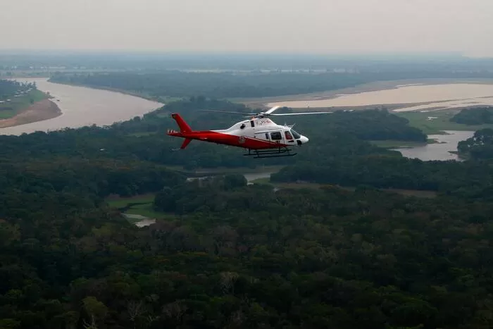
In true hunter‑plane fashion, an Air Force Reserve Hurricane Hunter aircraft is slated to swing by Sunday afternoon. Its mission? To poke around the vortex, pull back data on wind speeds, pressure and how tightly the storms are wrapping around the center.
States on alert
The NHC says the greatest potential impact stretches across four states, and residents there should keep a very close eye on any updates. Those states are Florida, Alabama, Mississippi and Louisiana. A tropical‑storm watch is already in effect for portions of the northern Gulf Coast, and Rhome emphasized, “We’re primarily watching Florida for possible tropical‑storm‑force winds over the next 48 hours.”
Rainfall and flooding – the real worry
Even if the system never reaches hurricane strength, meteorologists are already fretting over the chances of prolonged, heavy rain. AccuWeather’s lead hurricane expert Alex DaSilva pointed out that wind shear should relax across the northeastern Gulf this weekend, while sea‑surface temperatures sit in the upper 80s °F—about 2‑4 °F above the norm. Those conditions are a recipe for tropical development and, more importantly, for slow‑moving rain that can dump inches on a single area.
Because the depression is expected to lumber along rather than race ahead, many coastal communities could see flash‑flooding develop over several days. That’s the headline‑maker for forecasters: rain, not wind, is the biggest threat right now.
Seasonal context
The Gulf’s sudden spark follows a surprisingly quiet spell in the Atlantic basin. For weeks, dry air, Saharan dust and hostile wind patterns kept storms at bay. But over the past few days, the northeastern Gulf has warmed and the atmosphere has become more supportive, nudging the season back into gear as we march through the traditional peak months.
What residents can do
If you live in Louisiana, the Florida Peninsula or the Gulf‑side parts of Alabama or Mississippi, it’s time to dust off your hurricane plan—not wait for an official warning. Check your emergency kit, make sure you know evacuation routes, and stay tuned to local alerts. A little preparation now can make a world of difference if the system decides to intensify or linger.
Editorial note: Nishadil may use AI assistance for news drafting and formatting. Readers can report issues from this page, and material corrections are reviewed under our editorial standards.