Severe Thunderstorm Watch Still Active Across Montreal
- Nishadil
- July 22, 2026
- 0 Comments
- 4 minutes read
- 16 Views
- Save
- Follow Topic

Montreal Remains Under Severe Thunderstorm Watch as Heavy Rain, Hail and Possible Tornadoes Loom
Environment Canada keeps a severe thunderstorm watch in force for Montreal today, warning of intense rain, large hail, damaging winds and a small chance of tornadoes.
At 6:20 p.m. EDT on July 21, 2026, Environment Canada confirmed that the severe thunderstorm watch that was put in place this morning is still hanging over the Greater Montreal area. In plain language, that means the sky is primed for more than just a few drizzles – think fast‑moving storms that can dump a lot of water, hurl large hail and even spin up a brief tornado.
Forecasters are watching a low‑pressure system that’s tracking eastward from Ontario. As it slides past, it’s expected to draw moist air from the St. Lawrence River and the Gulf, feeding the storms with plenty of fuel. The result? Sudden, heavy downpours that could overwhelm some neighbourhood drainage systems, especially in low‑lying districts like the Plateau and Verdun.
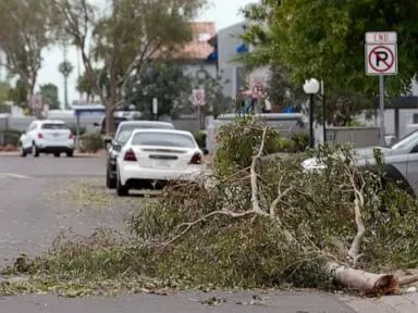
Wind gusts have already been recorded at 70 km/h in parts of the city, and there’s a real‑time risk that they could climb higher in the next few hours. That’s enough to snap tree branches, fling loose objects and make driving conditions treacherous. If you’re out on the road, keep a safe distance from other vehicles, and be prepared for sudden stops.
Hail is another headline‑maker. Meteorologists are warning of stones the size of golf balls or larger, which can dent cars, smash windows and cause injuries if you’re caught without shelter. If you hear that unmistakable “crack‑crack” sound, pull over safely and stay inside until the storm passes.
Perhaps the most unsettling part of the bulletin is the mention of a “tornado‑possible” scenario. While the odds are still low, history tells us that Montreal’s urban environment can amplify wind funnels, turning a strong downburst into something more organized. For that reason, keep an eye on any rotating clouds or funnels, especially over open fields and parks.
What can you do right now? First, consider postponing non‑essential trips until after the watch expires. If you must be out, keep an emergency kit in your vehicle – a flashlight, a blanket, bottled water and a basic first‑aid set. At home, secure loose objects on balconies, close windows and doors, and make sure your sump pump (if you have one) is ready for a possible surge.
In the rare event of a tornado or strong wind damage, call 9‑1‑1 immediately. If you’re indoors and can’t safely evacuate, move to an interior room on the lowest floor, away from windows. If you’re outdoors, seek shelter in a sturdy building – a concrete garage or a metal‑framed structure is best.
Stay tuned to local radio, television and the Environment Canada website for updates. The watch is expected to lift later tonight, but conditions could evolve quickly, so keep your phone charged and your ear to the sky.
Editorial note: Nishadil may use AI assistance for news drafting and formatting. Readers can report issues from this page, and material corrections are reviewed under our editorial standards.