Lehigh Valley Braces for a Weather Whammy: Tornado & Flood Watches Amidst Wildfire Haze
- Nishadil
- July 19, 2026
- 0 Comments
- 3 minutes read
- 15 Views
- Save
- Follow Topic

Double Trouble: Tornado & Flood Watches Grip Lehigh Valley, Plus Lingering Wildfire Smoke
The Lehigh Valley is currently under both Tornado and Flood Watches through Saturday night and Sunday morning, respectively, as severe storms threaten the region. This unsettling forecast comes amidst persistent wildfire smoke from Canada, creating a truly unusual atmospheric cocktail for residents.
Well, isn't this a delightful mix of weather we're facing here in the Lehigh Valley? Just when you thought you’d seen it all, Mother Nature decided to throw a whole smorgasbord of atmospheric conditions our way. Right now, our local forecasters are urging everyone to stay sharp and aware, because we’re currently under both a Tornado Watch and a Flood Watch. Talk about a one-two punch!
Let's break it down a bit. The National Weather Service has issued a Tornado Watch for various parts of our beloved Lehigh Valley, and that's expected to stick around until 10 p.m. this Saturday. This isn't just a precautionary measure; it means conditions are ripe for some serious stuff – we're talking about the potential for damaging winds that can knock down trees, large hail that could dent cars, and yes, even isolated tornadoes. It’s a situation where you really need to be ready to act fast if a warning comes your way.
And as if the tornado threat wasn't enough to keep us on our toes, we've also got a Flood Watch blanketing the entire region. This one extends even longer, through Sunday morning. Why the concern? Well, the storms rolling through are predicted to bring some truly heavy downpours. We're looking at anywhere from one to three inches of rain, with some localized spots potentially getting even more. All that water falling quickly means flash flooding is a real possibility, and our creeks, streams, and even some rivers could swell up pretty fast. If you're near a waterway or in a low-lying area, definitely keep an extra eye out.
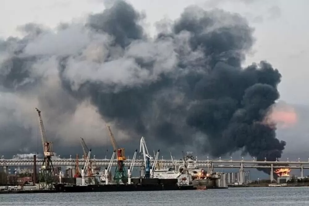
Now, here's the kicker – all of this dramatic weather is unfolding beneath a sky that's still hazy with wildfire smoke. Yes, that persistent plume from Canada has been hanging around, giving our air quality a noticeable dip and lending an eerie, filtered look to the sunlight. It's an odd juxtaposition, isn't it? Severe storms brewing while a smoky haze lingers, a kind of atmospheric double whammy that makes the air feel heavy and a bit surreal.
These watches cover quite a swath of our area, including Lehigh, Northampton, Bucks, Montgomery, Berks, Carbon, Monroe, and Schuylkill counties. So, whether you're in Allentown, Bethlehem, Easton, Reading, or any of the surrounding towns, these advisories apply to you. It's a broad regional concern, and everyone needs to stay tuned to local weather updates.
Prior to these storms rolling in, we've been dealing with that sticky, humid heat that just makes everything feel a bit oppressive. It's a classic setup for severe weather, where all that energy in the atmosphere gets churned up. The good news, if there is any, is that once these storms clear out and we move into Sunday, temperatures are expected to drop a bit, offering us a much-needed reprieve from both the heat and the immediate storm threats. For now, though, let’s all just stay safe, be prepared, and keep those weather apps handy.
Editorial note: Nishadil may use AI assistance for news drafting and formatting. Readers can report issues from this page, and material corrections are reviewed under our editorial standards.