
A Digital Blunder: India's Census Map Accidentally Places Arunachal Town in China, Swiftly Corrected
- Nishadil
- April 20, 2026
- 0 Comments
- 2 minutes read
- 29 Views
- Save
- Follow Topic
Official Census Portal Displays Arunachal's Bomdila in China, Sparks Outcry, Promptly Fixed
A critical mapping error on India's official Census portal briefly showed Bomdila, a strategic town in Arunachal Pradesh, as part of China, causing alarm before a rapid and decisive correction.
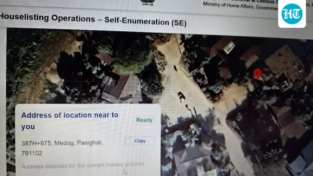
Imagine the collective gasp, or perhaps a frustrated groan, when a glaring error surfaced on none other than India's official Census portal. For a brief, yet incredibly tense, period, the map displayed on the site mistakenly placed Bomdila, a significant town nestled in the sensitive state of Arunachal Pradesh, squarely within the borders of China. It wasn't a minor typo; it was a digital mapping blunder with serious geopolitical implications.
This isn't just an abstract geographical mix-up; it touches a very raw nerve in India-China relations. Arunachal Pradesh, a state India considers an integral part of its territory, is vehemently claimed by Beijing as 'South Tibet.' So, for an official Indian government website to inadvertently cede even a sliver of this contested region to its northern neighbour was, to put it mildly, a huge problem. Thankfully, a sharp-eyed user on X (formerly Twitter) was quick to spot the anomaly, sharing a screenshot and bringing it to the immediate attention of the public and, crucially, the authorities.
Credit where credit is due: the response was commendably swift. As soon as the error went viral, becoming a subject of intense discussion and concern, the wheels of government machinery turned rapidly. Within a matter of hours, the digital mistake was rectified. A Ministry of Home Affairs official later confirmed that the map had indeed been corrected, putting an end to the temporary diplomatic headache it had caused. It’s a testament to how quickly such issues can be addressed when public scrutiny is high.
This incident, though quickly resolved, serves as a potent reminder of the extreme sensitivity surrounding cartographic representations, especially concerning international borders. In the intricate dance of international relations, every line drawn on a map carries immense weight, symbolizing national sovereignty and territorial integrity. An incorrect depiction, no matter how accidental, can be misinterpreted as a tacit acknowledgment of another nation's claims, fueling existing disputes and potentially escalating tensions.
For India, maintaining the accurate depiction of its borders, particularly with China, is non-negotiable. With ongoing border disputes and occasional military standoffs, any lapse in official mapping can provide fodder for propaganda or diplomatic leverage. This little snafu on the Census portal, while rectified with admirable speed, underscores the critical importance of rigorous checks and balances in all forms of public information, especially when dealing with such geopolitically charged subjects. It’s a stark reminder that in the digital age, even a momentary error can have significant real-world ramifications.
Editorial note: Nishadil may use AI assistance for news drafting and formatting. Readers can report issues from this page, and material corrections are reviewed under our editorial standards.


